|
Bastogne, Belgium
Battleground, IN
Book Depository, Dallas, TX
Cape Canaveral Air
Station, FL
Fallen Timbers, OH Harpers
Ferry, WV Jean
Lafitte's Blacksmith Shop, LA
Jesse Owens Memorial, AL
LBJ
Ranch, TX
Luxembourg American Cemetery
Normandy, France
Oklahoma City National Memorial, OK
Wendover Air Field, UT
Wilbur Wright Birthplace, IN
Historic Site
Fallen Timbers
Battle Ground, Toledo, OH - January 10, 2012
My visit to Fallen Timbers has once again
reminded me that there is a lot we still do not know about our early
history and there is always room for more research and education. As
I point out below one of the shortcomings I noticed at this memorial is
the sequence of the battle and the actual location. Upon researching
this further upon my return home I found out that new evidence suggests
the Fallen Timbers Memorial Park may be in the wrong location.
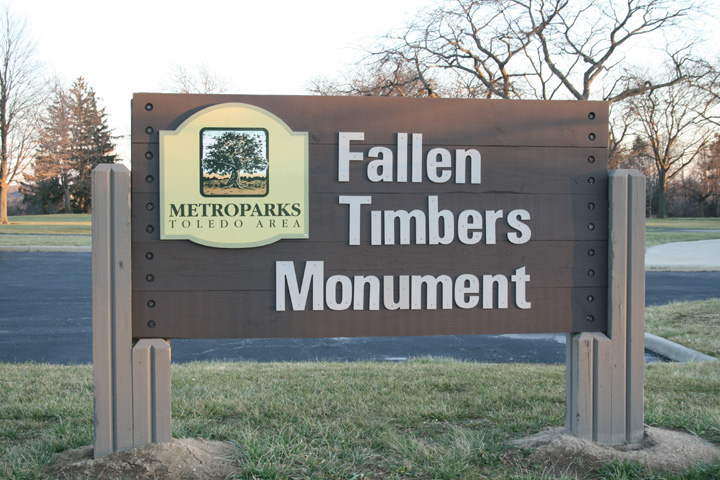
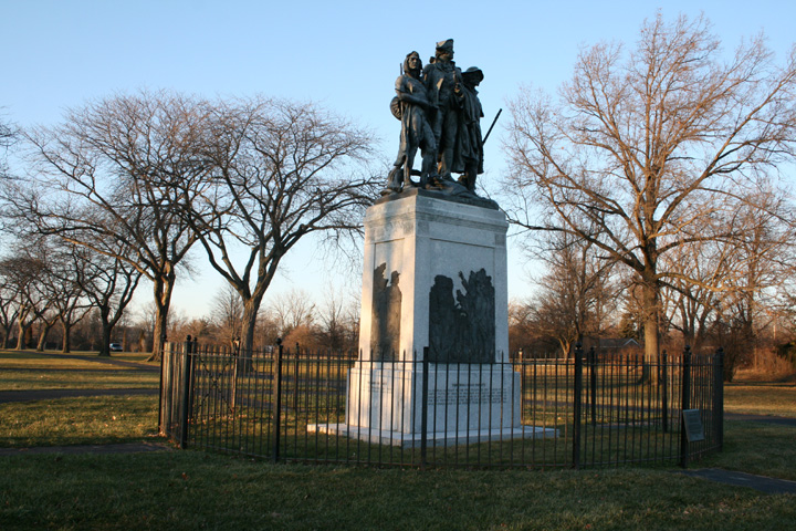
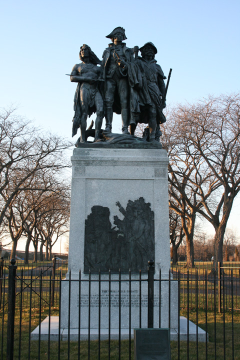
The main Monument.
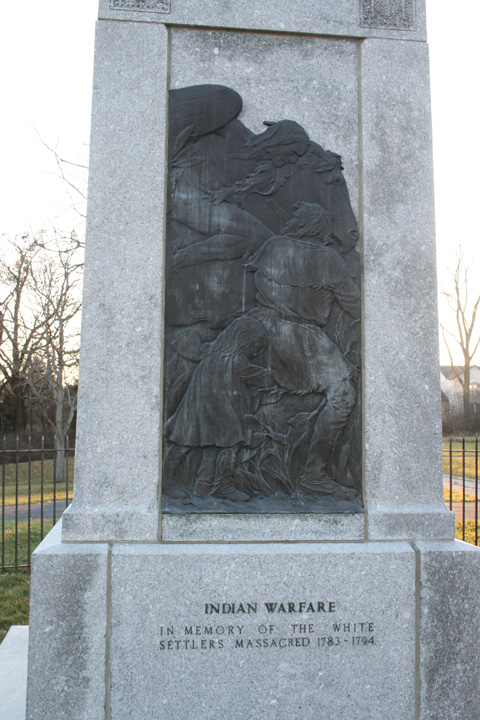
I find this very interesting because I think
this was a two way street, as white settlers were invading someone's
property and also doing their share of massacring Indians, burning their
villages and crops and doing what they could to annihilate the original
inhabitants of the land. Somehow that seems to have been forgotten
by the persons putting up the monument.
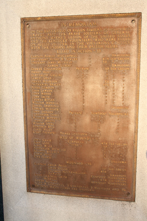
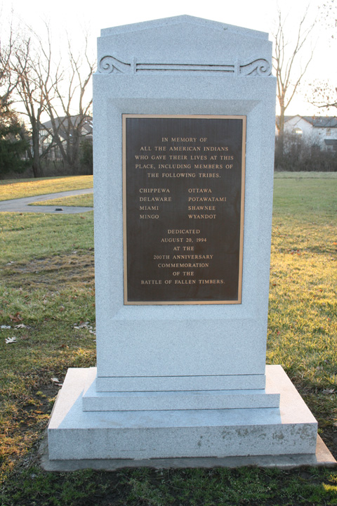
I could not find a date on the previous shown
monuments but it appears that quite a few years later there was the
beginning of some recognition that there were two groups of Americans that
fought and died at this battle. My first guess is this monument would have
been advocated by the remaining local Indian tribes and paid for by them
from Casino earnings.
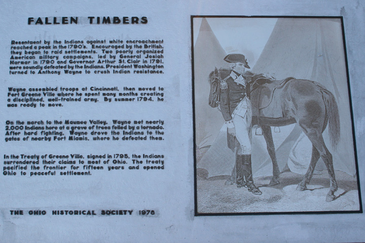
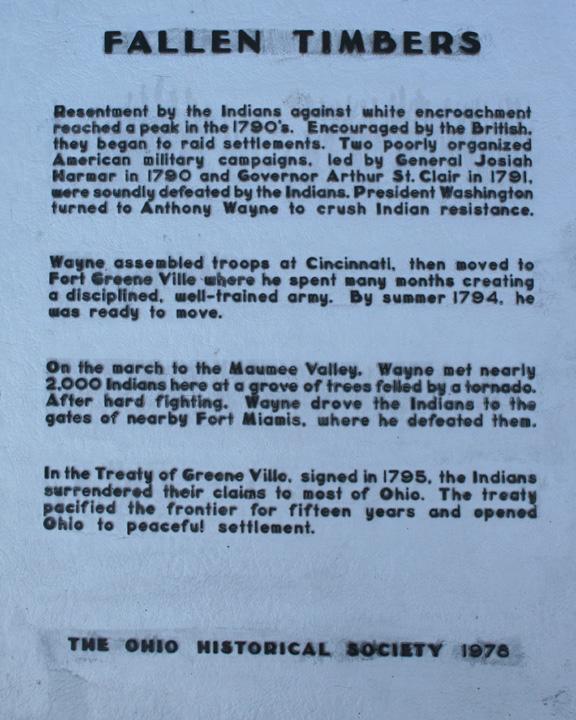
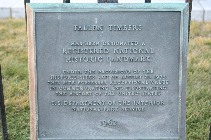
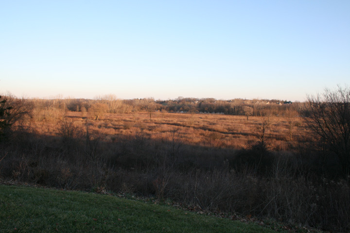
This photo was taken from the area of the monument looking south. One of
the short comings of the monument is there is no description of the who,
what, when and where the actual battle took place. This leaves one
wondering what actually happened here for the normal person that visits
and has no previous knowledge of the battle. My research has
found that this was originally thought to be the site of the battle.
However, there is a location a quarter of mile to the north and northeast
that is now thought to be the battle site. It could be the memorial
is in the wrong place!
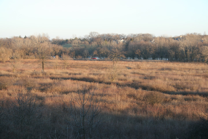
Another photo showing better the walking trail, North River Road and the
Maumee River in the background.
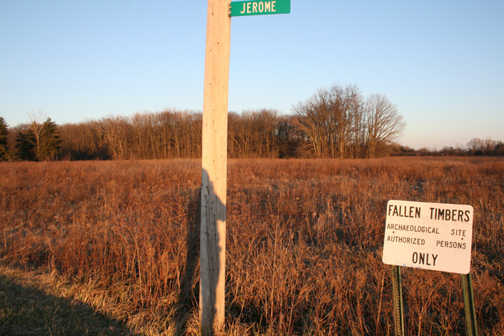
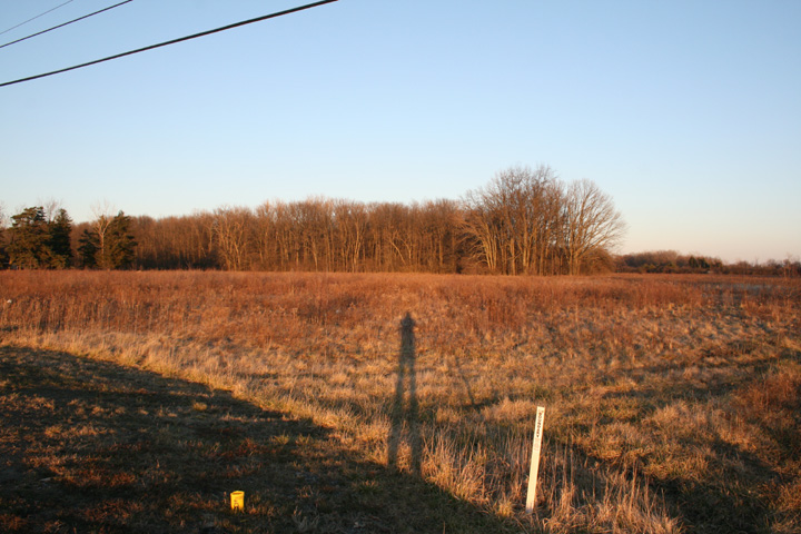
This is second portion of the Memorial that is north of the previous
photos and consists of 187 acres that was purchased in 2000 when it was
discovered through archeological digging that this could actually be the
battle site. The purchase of this land probably came none too soon
as the area is being extensively developed with houses surrounding both
locations and a brand new shopping mall just to the west of this location.
The two locations are separated by US 24 which is four lane divided
roadway at this point. The two sections are connected by a
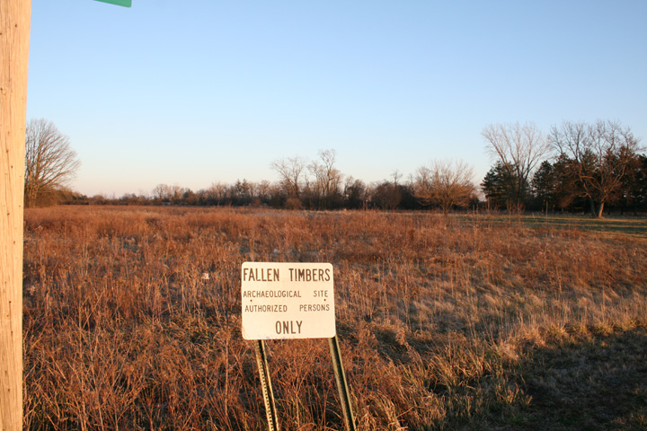
footbridge which crosses over US 24. From the sign one can note this
is a restricted area. With it being late in the day two of the
photos of this area have my shadow in them as this area can only be
accessed from the road on the west border.
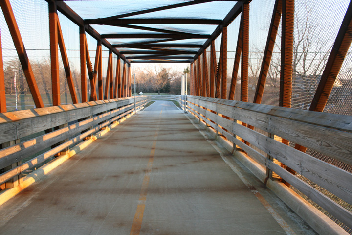
This is the bridge over US 24 looking south.
Note that rust blowing off the overhead superstructure of the bridge has
left images on the walking area. This design of the bridge uses the
actual rust as its protective layer between the oxygen in the atmosphere
and the iron in the girders. Therefore no painting is needed.
But it does produce rust residue.
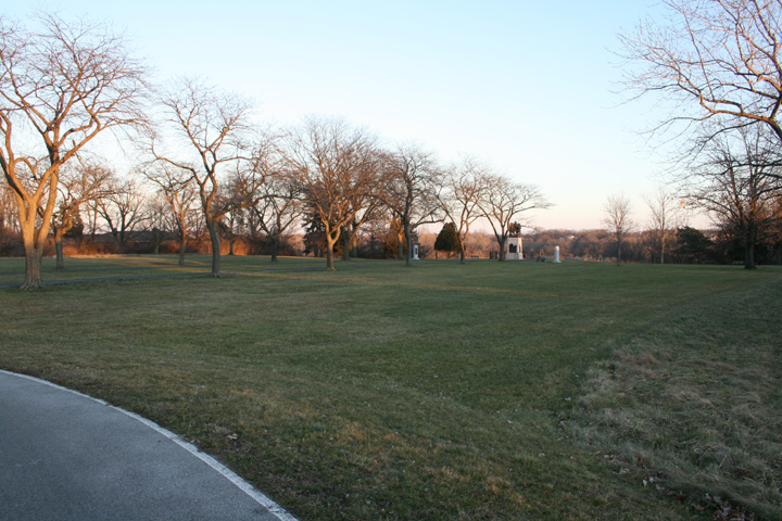
As one comes off the pedestrian bridge this the view of the original
memorial.
Bastogne, Belgium
Battleground, IN
Book Depository, Dallas, TX
Cape Canaveral Air
Station, FL
Fallen Timbers, OH Harpers
Ferry, WV Jean
Lafitte's Blacksmith Shop, LA
Jesse Owens Memorial, AL
LBJ
Ranch, TX
Luxembourg American Cemetery
Normandy, France
Oklahoma City National Memorial, OK
Wendover Air Field, UT
Wilbur Wright Birthplace, IN
|


